// CATEGORY
All VR & AR
Immersive experiences that audiences remember long after the event ends.
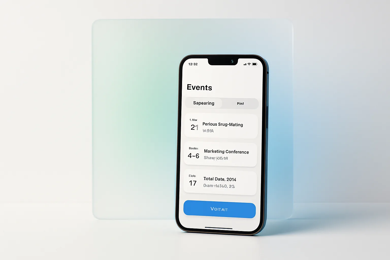
ExploreSmartphone AR wayfinding for venues — attendees point their camera and follow on-screen paths to any booth, session room, or facility.
In a large venue, 'Hall 4, Booth C-112' is not directions — it is a puzzle. ZebIQ builds AR navigation that solves it: attendees scan a QR code, point their phone camera down the concourse, and follow arrows and path lines rendered directly onto the live view of the venue, guiding them turn by turn to any booth, session room, food court, or exit.
The system works where satellite positioning fails. We map the venue using visual positioning and marker-based anchoring, achieving indoor accuracy that GPS cannot deliver inside exhibition halls.
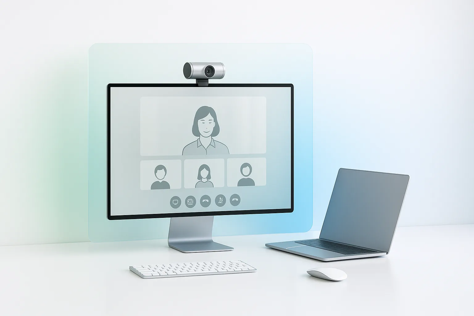
The experience runs in the phone browser via WebAR — no app install — and integrates with your event data, so attendees search for an exhibitor by name, tap a session in the agenda, and navigate straight from where they stand.
AR navigation is more than attendee convenience—it's a revenue and insights tool.
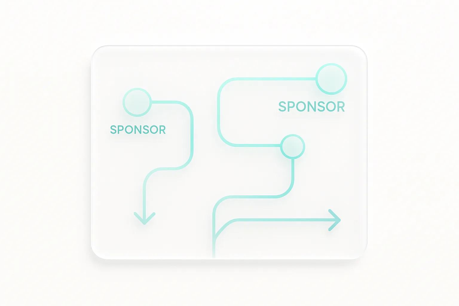
Branded waypoints and sponsored points of interest sit along high-traffic routes, creating monetisable touchpoints. Organisers get heatmap analytics showing real movement patterns across the venue — data that directly informs floor-plan pricing and layout for the next edition.
Turn-by-turn arrows and path lines rendered onto the live camera view, from the attendee's position to any destination.
Visual positioning and marker anchoring deliver reliable accuracy deep inside halls where satellite signals fail.
Runs in the phone browser from a QR scan—no app download, no onboarding friction.
Search exhibitors, tap agenda sessions, or pick facilities—every destination in your event data is navigable.
Branded points of interest along routes and rerouting around congestion—monetisable and operational at once.
Anonymised navigation analytics reveal true traffic patterns, informing layout and floor-plan pricing decisions.
We map the venue from floor plans and an on-site capture pass, building the positioning model and anchor network.
Booths, rooms, and facilities are imported from event data, with routes, accessibility paths, and sponsored waypoints configured.
Positioning accuracy is validated and tuned across the venue once the actual build—booths, signage, walls—is in place.
During the event we monitor usage and reroute around closures or congestion, with heatmap reporting delivered after close.
Intelligent wayfinding transforms how attendees experience large venues—reducing confusion, increasing dwell time, and turning navigation itself into a sponsorship asset.
Yes—that is precisely the problem it solves. The system uses visual positioning and physical marker anchors mapped to the venue, delivering reliable indoor accuracy that GPS cannot provide inside exhibition halls and convention centres.
No. The experience runs in the phone browser through WebAR. Attendees scan a QR code at entrances or on signage and start navigating immediately.
Initial mapping from floor plans plus an on-site capture pass typically takes one to three days depending on venue size, with a short calibration session after the event build is complete. Mapped venues can be reused for future editions with only incremental updates.
Yes. During the event we monitor real-time usage patterns and can dynamically reroute around closures or congested areas, ensuring smooth flow and better attendee experience.
AR wayfinding eliminates venue confusion, increases engagement, and delivers actionable movement analytics. Let's map your venue and turn navigation into an asset.
// CONTINUE EXPLORING
Up to the category, across to complementary services, and into the engine-room notes.